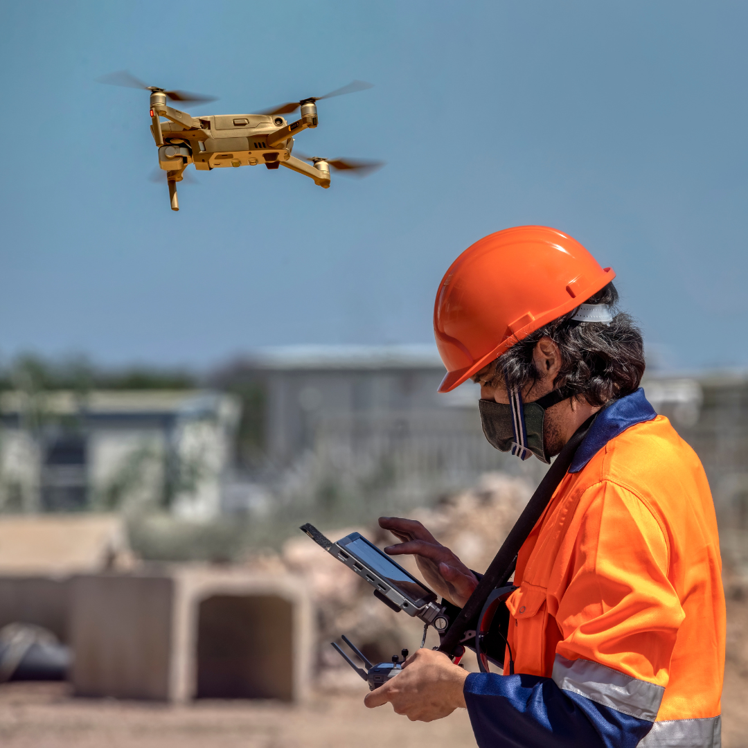
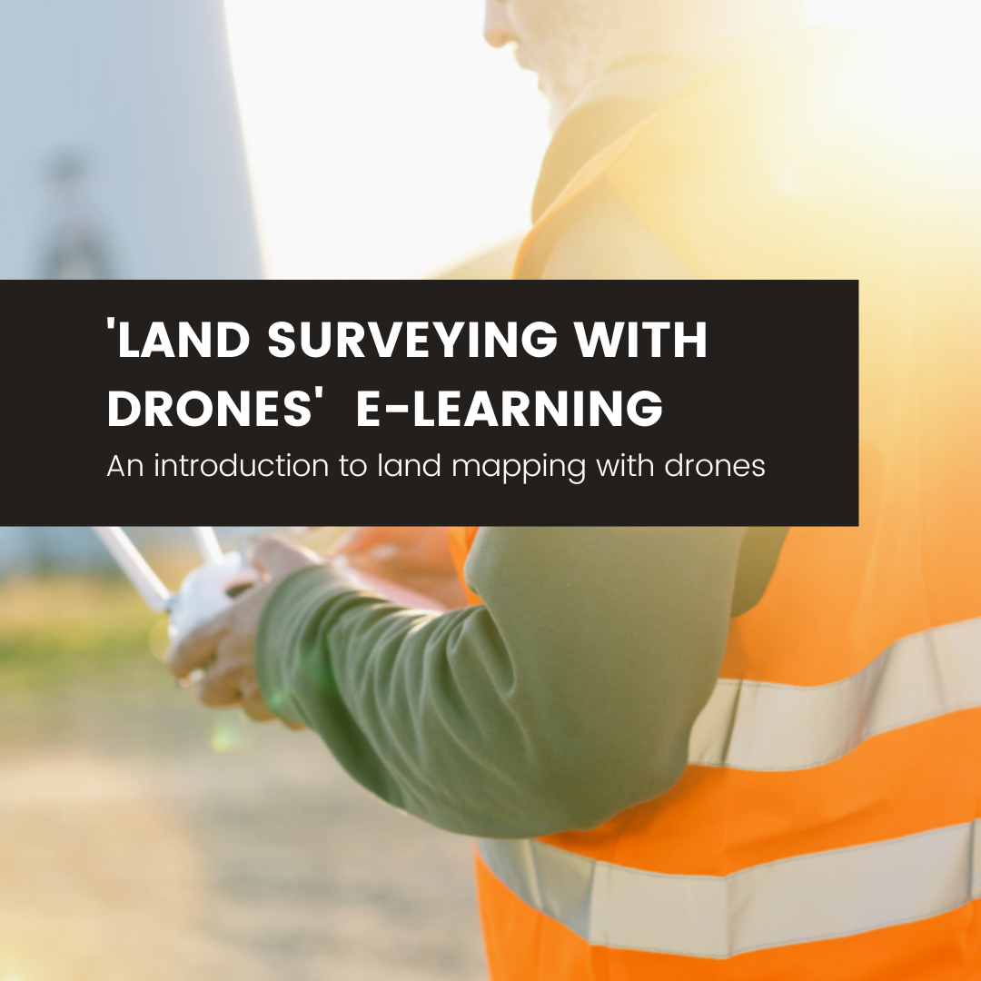
Learn how to use your Drone for Land Mapping and Surveying!
Plan, Capture and Deliver land mapping and surveying data for your clients by following our step-by-step guide.
Learn through this E-Learning course, how to successfully plan for Land Mapping and Surveying with your Drone using a variety of software including DroneDeploy & Pix4D
Modules covered in this course are:
Who is this course for?What is Land SurveyingPotential MarketDrones Transforming the IndustryAccuracy & GSDWhich Drone is best for the job?
Safety & RegulationsEquipment and App check listNadir and Oblique ImagesWhat is a Flight PlanOff-site vs On-site Flight PlansDroneDeploy Flight PlanFlight Plan for Larger Sites
Choosing the best take-off pointAdjusting Flight ParametersDroneDeploy Image CaptureReturn to HomeImage Quality CheckPix4D Flight PlanOblique Image Flight Plan
Definition of OutputsImage Processing SoftwareIntroduction to Pix4DPix4D Cloud ProcessingPix4D Desktop Processing
Introduction to Google Earth ProPost-processing in Google Earth ProConclusion
This course has been designed from the ground up to ensure you have the primary knowledge to successfully plan for automated drone flight operations to capture land mapping data for orthomosaics, 3D models, detailed 3D maps and how to process all of the data.
You'll get shown how to output the data and present to your clients in an effective way.
Who is this course for?
This course is for people who have no prior knowledge of land mapping and collecting data, however, even the most experienced professionals may learn something new!
Why choose UAVHUB?
UAVHUB (a registered trademark and trading name of Aerial Motion Pictures Ltd) is the world's first Civil Aviation Authority (CAA) Recognised Assessment Entity (RAE); authorised by the CAA to provide professional drone training to allow you to apply for your General Visual Line of Sight Certificate (GVC) AND the A2 Certificate of Competency (A2 C of C).
We have trained over 14,000 Remote Pilots since 2015 and we have an outstanding reputation, supported by the fact that we are theUK's Highest Rated Drone course on Trustpilotwithover 5000 5***** star reviews.
Our Instructors are either ex. RAF Helicopter Instructors or are professionals in the professional Drone Space, with years of experience - with UAVHUB, you're in safe hands!